Blog
Precision agriculture, in plain language for farmers
Articles on irrigation, drought and decisions based on the data from your own field.
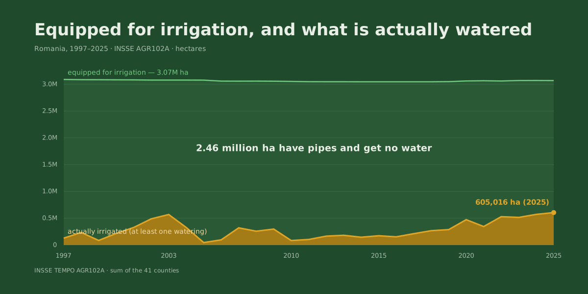
Romania has 3 million hectares equipped for irrigation. Last year it watered 605,000
2.46 million hectares have pipes and get no water. What changed in 2026 for water tariffs and energy refunds — and the farm size where it starts to pay.
Read the article →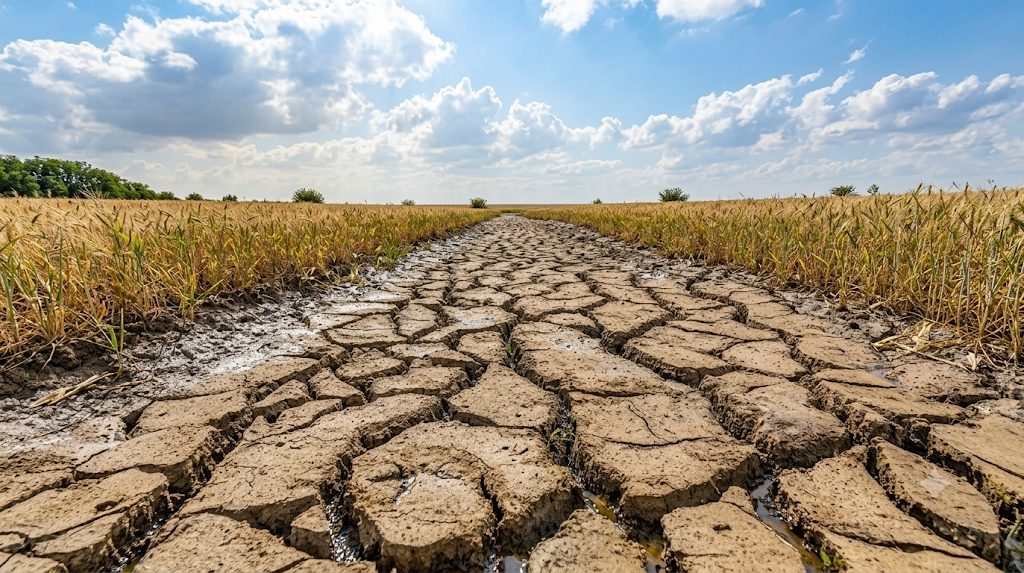
We measured 29 years of harvests across 41 counties. The money isn't in the good year — it's in the bad one
A bad year costs €485/ha on average and arrives one year in four. What 29 years of INSSE and ANM data say about what can be defended and what cannot.
Read the article →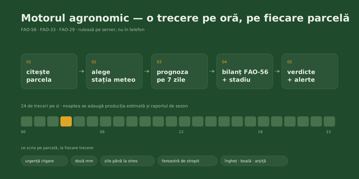
The agronomy engine: what works for your farm every hour, even when you don't open the app
Every hour, each parcel goes through the FAO-56 water balance, its crop stage, the spray window and the frost, disease and heat-stress risks.
Read the article →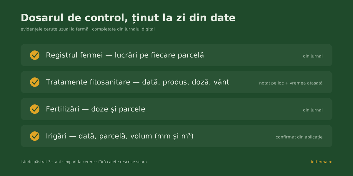
Farm inspections: which records you must keep and how to keep them without writing by hand
Farm register, plant protection, fertiliser and irrigation records: what inspectors ask for, what you risk without them, and how to keep them automatically.
Read the article →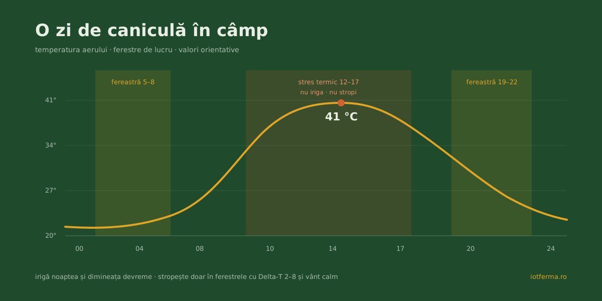
Heatwaves in farming: what happens to crops at +38 °C and what you can actually do
In a heatwave the crop wants the most water exactly when the soil holds the least. The thresholds that matter for maize and sunflower, and when to irrigate.
Read the article →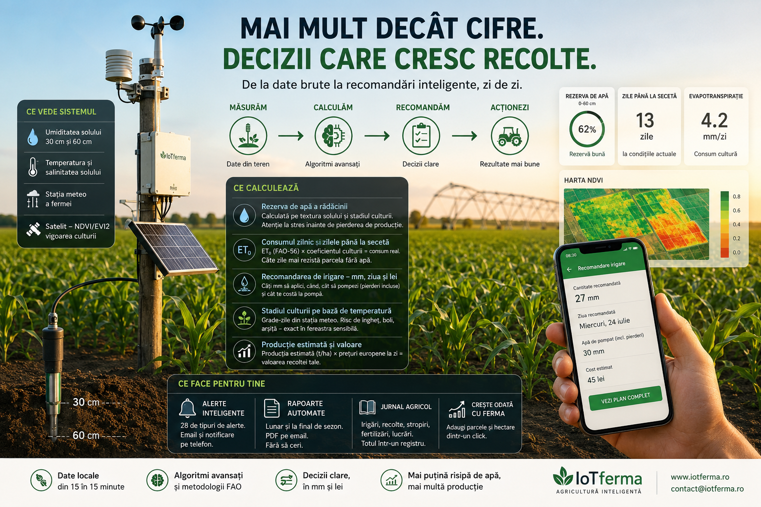
What the app sees, calculates and does for your farm
A tour of the platform: root-zone water reserve, days to drought stress, the irrigation call in mm and lei, crop stage, alerts and season reports.
Read the article →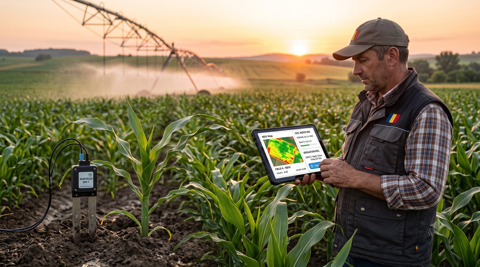
What is precision agriculture? A guide for the Romanian farmer
Precision agriculture explained simply: what it is, how it works with sensors and data, what you gain (ROI, water, inputs) and how to start on your own farm.
Read the article →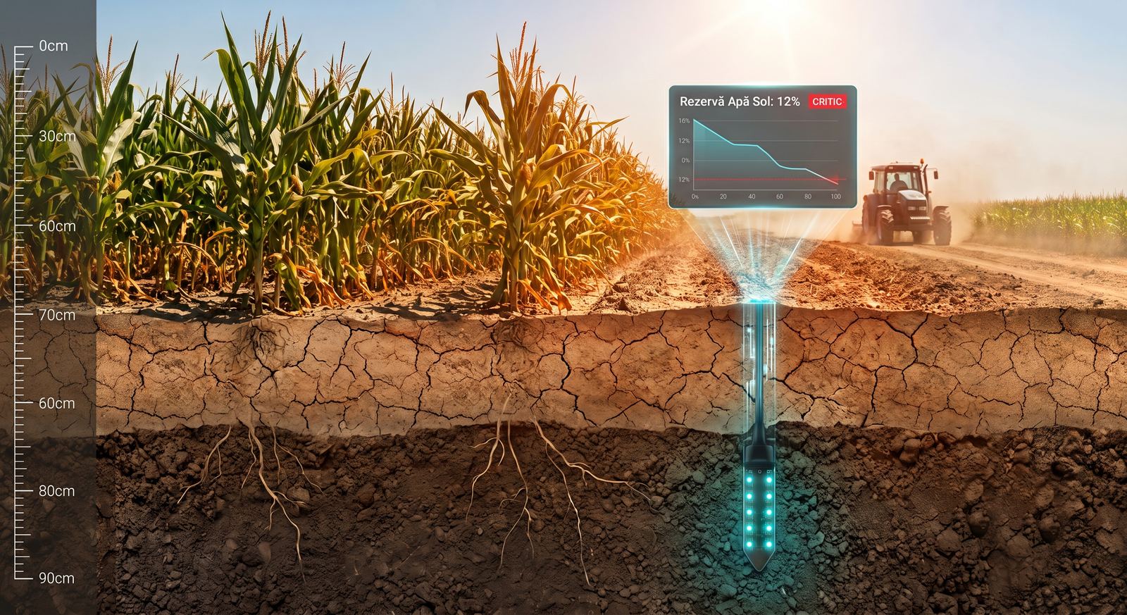
Drought in 2026 farming: what the soil tells you before the crop shows stress
Drought starts weeks before the leaves wilt, in the soil water reserve. Which crops cope better, and how to catch water stress while it still matters.
Read the article → Drought is no longer an isolated event in Romania — it has become a constant of the season
Irrigating by guesswork costs water, energy and nitrates washed below the roots. How real-time soil monitoring cuts that use by 10–30%.
Read the article →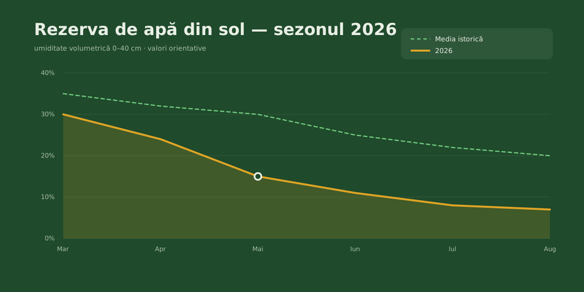
The 2026 anti-drought strategy: an X-ray of the crisis and a 4-step plan
An X-ray of the soil water reserve, the paradox of Romania's irrigation infrastructure, and how to turn soil data into decisions with no upfront cost.
Read the article →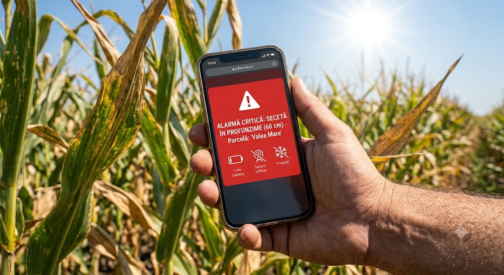
What the monitoring system alerts you about — the 29 alarms, and what it cannot know
29 alarm types across three severity tiers — water, frost, heat, wind, disease, salinity — plus an honest account of what the system cannot see.
Read the article →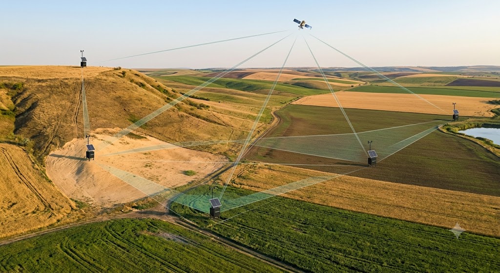
How many sensors do I need on the farm — and why one isn't enough
The number of sensors is not fixed: it depends on area, soil texture and terrain. How to size a network that shows the real state of each plot.
Read the article →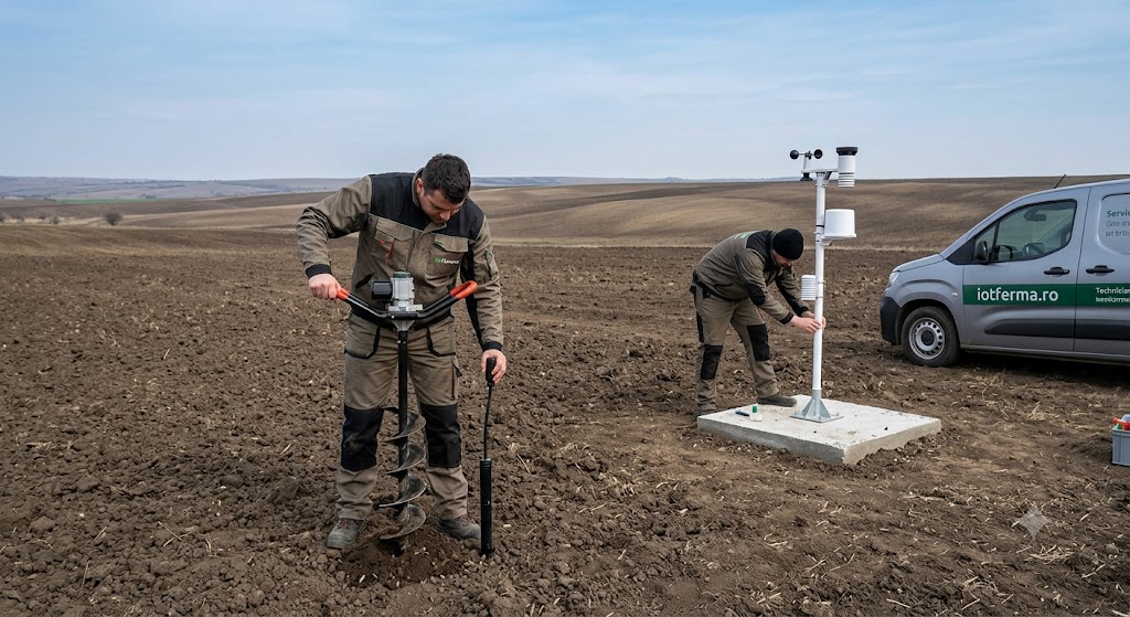
When to install a soil monitoring system — a season-by-season guide for Romanian farmers
The best time to install is on an empty field, before the season of highest water demand. The good windows in the year, by crop, and what to avoid.
Read the article →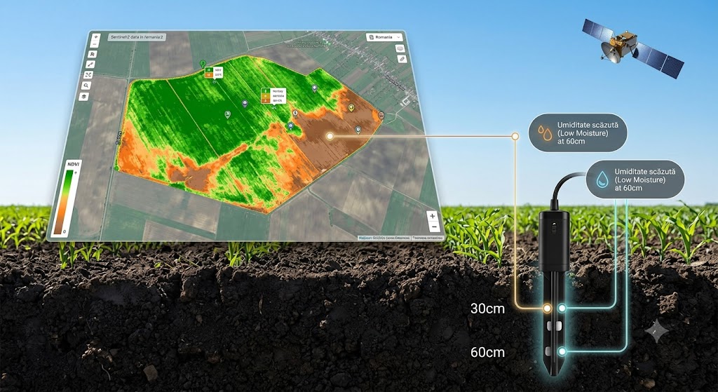
What NDVI is and how to use it together with soil sensors
Satellite NDVI and EVI2 show canopy vigour and catch stress early. Paired with soil moisture they tell you where, why, and what to do about it.
Read the article →